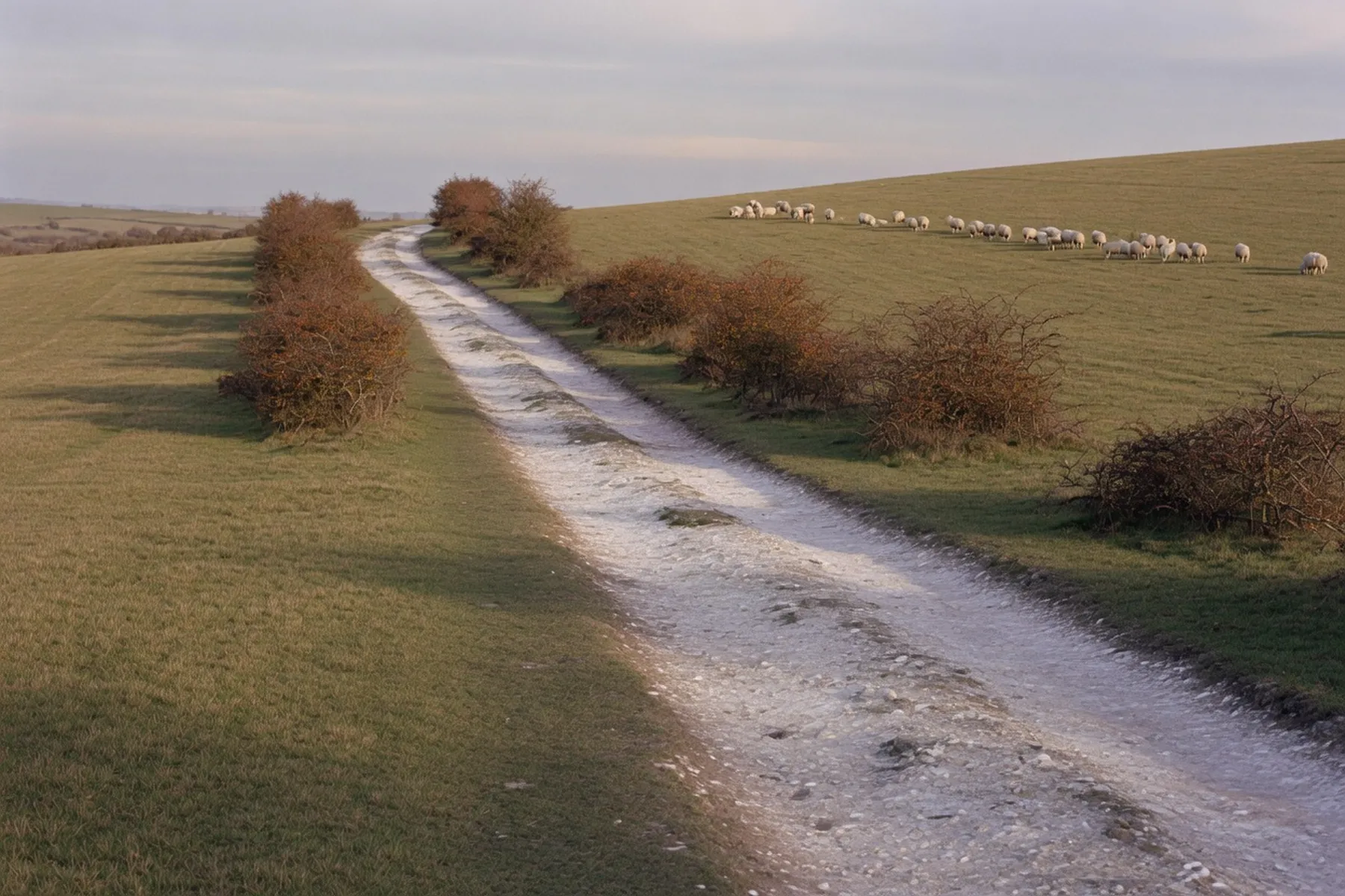
Winchester is the western end of the South Downs Way, and the trail leaves the city from the very bottom of the High Street, opposite the City Mill, following the river out before the chalk takes over. The full path runs 100 miles (160 km) to Eastbourne, but a visitor here is usually planning a day, not a coast-to-coast effort. This covers the first sections east — what the ground is actually like, how far a sensible first day goes, and exactly how to get back without a second car.
The South Downs Way is a National Trail running the whole length of the South Downs from Winchester to Eastbourne. The official National Trails page puts the distance at 100 miles (160 km) and notes the path crosses five National Nature Reserves along the way. Because it keeps to the top of a chalk ridge, it drains and dries quickly after rain, which makes it one of the few long paths comfortable to walk all year. It is well way-marked, and the National Trails body’s rule of thumb is plain: if you can comfortably walk 12 miles (20 km) in a day, you should have no problem. The trail is busiest on school holidays and on weekends from May to September, when organised walking events are common.
The South Downs National Park Authority publishes its own car-free walk for the first stretch, Winchester to Cheesefoot Head: 6–7 miles, described as moderate, with three to four hours allowed. It starts opposite the City Mill, follows the riverside path and College Walk, then climbs Wharf Hill, East Hill and Petersfield Road to a footpath and tarmac path over a footbridge across the M3. After that you follow the South Downs Way signs. Cheesefoot Head is the first proper down — a broad sweep of chalk with the first long views, out to the Solent and the Isle of Wight. It is a good place to notice how quickly the city has fallen away behind you.
East of Cheesefoot Head the trail crosses the A272 and turns right at Keeper’s Cottage. It rolls through Gander Down and past Lomer Farm before reaching the Milburys Inn at Beauworth, a landmark the route description names for its welcoming fire. Then comes the steady pull up to the summit of Beacon Hill, which stands at 201 m, the high point of this first section. The climb is the one honest effort of the morning, but the gradient is steady rather than sharp, and the top is where the wider downs first open out.
From Beacon Hill the trail drops off the edge of the down to Exton, the village at the foot of the hill, where The Shoe Inn sits on the route. This is where the day naturally ends for most walkers: it lies a little short of the full 11-mile Beacon Hill section, and the practical day out from the city lands around 11–12 miles. Exton is also where the Sunday bus down below stops, which is the reason the village matters beyond its pub.
For anyone who wants more, the trail continues from Exton with a gradual climb to Old Winchester Hill, a National Nature Reserve and Iron Age hillfort with far-reaching views. The official National Trails route description gives this second stretch as 4.5 miles (7.2 km) beyond the Beacon Hill section. The hillfort ramparts and the views over the Meon Valley make it a fine second target, but it is the place to stop rather than push on: the next useful return point lies a long way east.
The official National Trails mileages for the first sections are 11 miles (17.7 km) from Winchester city to Beacon Hill National Nature Reserve, then a further 4.5 miles (7.2 km) to Old Winchester Hill. Those are section figures, not commandments. The honest day walk from the centre is around 11–12 miles, and the National Park’s own 6–7 mile, three-to-four-hour figure for Winchester to Cheesefoot Head is the best sense of pace. If you are new to the trail, Cheesefoot Head and back is a complete day; Exton and the bus home is the classic full one.
The single most useful thing for this walk is the South Downs Rambler, Bluestar’s scenic Sunday bus that runs from Winchester to Petersfield across the downs. The 2026 season runs Sundays only, 6 September to 1 November, with three journeys a day. It stops at Cheesefoot Head, Exton (on the A32) and Old Winchester Hill car park, then continues to Hinton Ampner, Bramdean, West Meon and on to Petersfield. From Winchester it leaves the railway station at 09:15 and 13:15 and the Broadway at 09:20, 13:20 and 17:30, reaching Cheesefoot Head at 09:30, 13:30 and 17:40 and Exton at 09:55, 13:55 and 18:05. Returns from Petersfield run at 10:50, 14:50 and 18:50, calling at Exton and Cheesefoot Head on the way back to Winchester. Concessionary passes are accepted, and it takes cash or contactless. Seasonal services change, so check the operator’s page before you go.
Coming home, the return bus leaves Petersfield station at 10:50, 14:50 and 18:50, reaching Exton at 11:30, 15:30 and 19:22 and Cheesefoot Head at 11:55, 15:55 and 19:45, back at the Broadway for 12:05, 16:05 and 19:55. That is what turns a one-way eastbound stretch into a Sunday round trip without a second car.
Monday to Saturday the workhorse is Stagecoach route 67, which runs between Winchester bus station and Petersfield via New Alresford, Cheriton, Bramdean, West Meon and East Meon, roughly two-hourly and about 70–80 minutes end to end. It has no Sunday or bank holiday service, and some journeys are school-term only or terminate short of the full route, so check the current PDF or the Stagecoach app. The other option from the Cheesefoot Head end is the no.64 Winchester–Alton service, which stops at Avington Turn on the A31 — about 400 m along the lane after you leave the trail at Cheesefoot Head. Its Sunday service is reduced, so check the timetable rather than trusting memory.
If you walk far enough to reach Petersfield, there is no direct train back to Winchester: South Western Railway journeys change at Woking, or run via Havant, and take roughly an hour and a quarter to an hour and fifty-five minutes in total. Use the National Rail journey planner for the day you are travelling, because the connection at Woking is the part that adds the time.
Because the ridge drains quickly, this is a path you can walk in any season, but the practical notes from the National Park still hold. Refreshments are in Winchester, or you bring a picnic; the only toilets on the Winchester-to-Cheesefoot-Head stretch are back in the city. The trail is busiest in school holidays and on May-to-September weekends. The Milburys Inn and The Shoe Inn are route landmarks, but whether either is open on your particular day is something to check with the pub directly.
Keep dogs on leads near livestock and wildlife, and bag and bin. Arrive at the bus stop early and check the timetable, which can change. The National Park’s own guidance points you to OS Explorer OL32 for the map, or the South Downs Way guide from the National Trails site. The condition of the M3 footbridge and any diversions change with the seasons — check nationaltrail.co.uk as of your walk, not from memory. This is one of the gentlest starts to a long-distance trail in the country, provided you know how you are getting home; the Sunday Rambler is the answer most walk databases leave out.